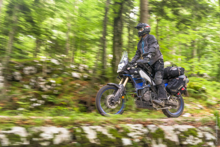
Sardinia rewards the driver who leaves the asphalt. Beyond the postcard beaches of the Costa Smeralda lies a wilder island: limestone canyons deeper than most of the Alps, granite moonscapes shaped by the Maestrale wind, Bronze Age stone towers hidden in cork forests, and the highest sand dunes in Europe rolling into the Atlantic-blue Med. This guide lays out a full-island 4×4 loop for intermediate adventurers — a realistic, legal, and deeply scenic route you can tackle in seven to ten days.
The Route at a Glance
The loop begins and ends at Olbia, Sardinia’s main ferry port on the northeast coast. It traces the island clockwise across four distinct geographies: the granite wilderness of Gallura, the Atlantic-facing west with its mining coast and dunes, the nuraghic heartland around Cagliari and Barumini, and finally the great limestone massif of the Supramonte before returning north. Roughly 1,100–1,300 km depending on detours, with about 40–60% of the driving on unpaved strade bianche, forestry roads, and former mining tracks.
Interactive Route Map
The button above opens a pre-plotted Google Maps route with every waypoint in order. Save it to your account or export to offline for remote driving. For true off-road navigation, pair it with a GPX tool such as Gaia GPS, Komoot, or Locus Map, and always carry a paper map of the Gennargentu and Supramonte areas, where mobile coverage is unreliable.
Stage 1 — Gallura: Granite and the Moon Valley
From Olbia, head northwest into Gallura, Sardinia’s granite country. The first prize is Capo Testa near Santa Teresa di Gallura, where wind and salt have sculpted the coast into a field of rounded boulders resembling a Henry Moore sculpture garden. A short unpaved spur leads to the old lighthouse and some of the best sunset views in the Strait of Bonifacio.
Cut inland to Aggius and the Valle della Luna, a silver expanse of weather-worn granite domes that feels genuinely lunar. The dirt tracks that braid through the valley are easy going but breathtaking at golden hour. Finish the stage with a night in Tempio Pausania, the cork capital.
Stage 2 — The West Coast: Alghero, Bosa, and the Sinis Peninsula
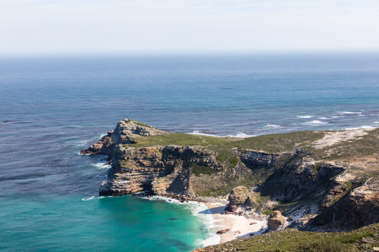
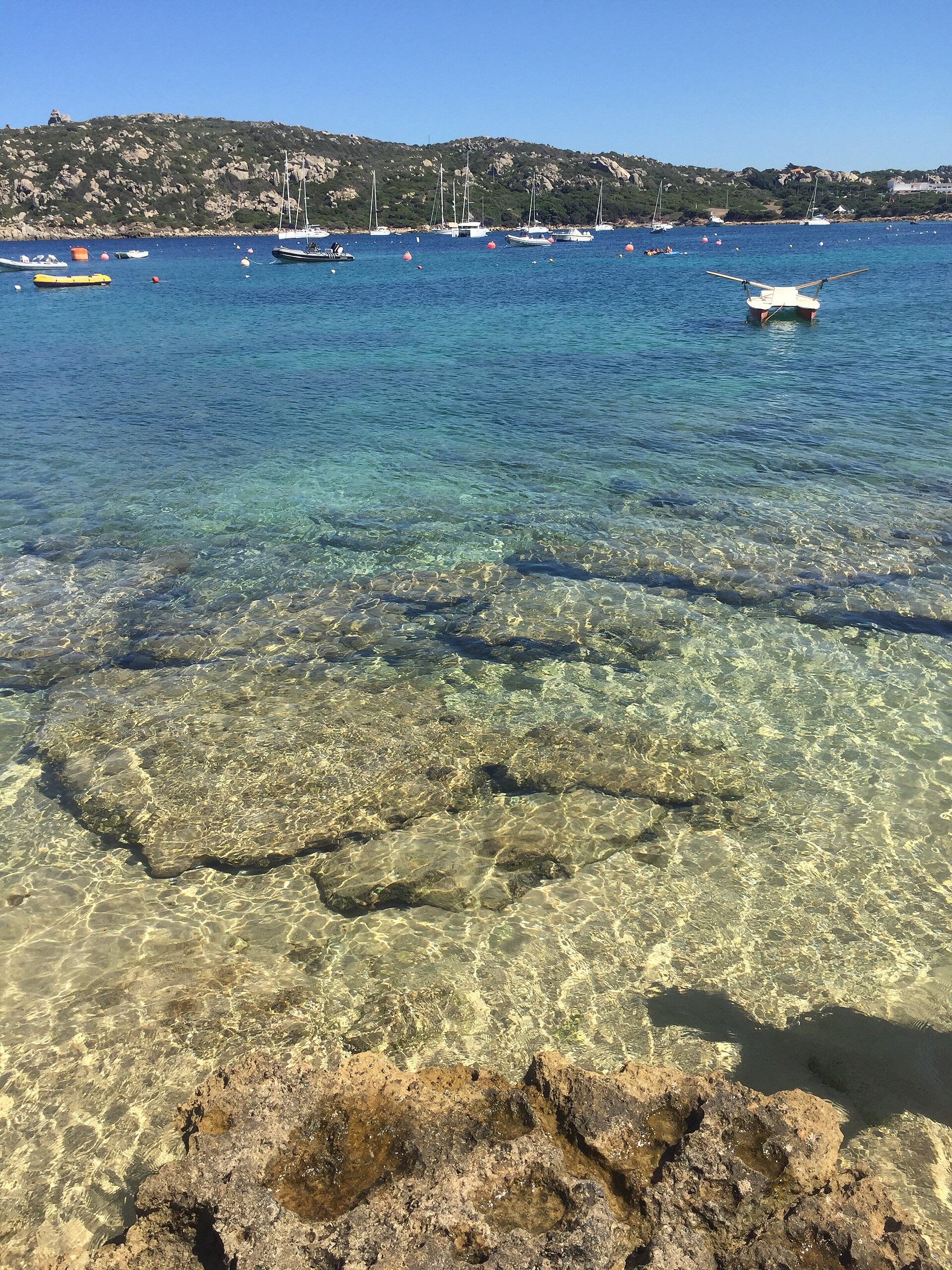
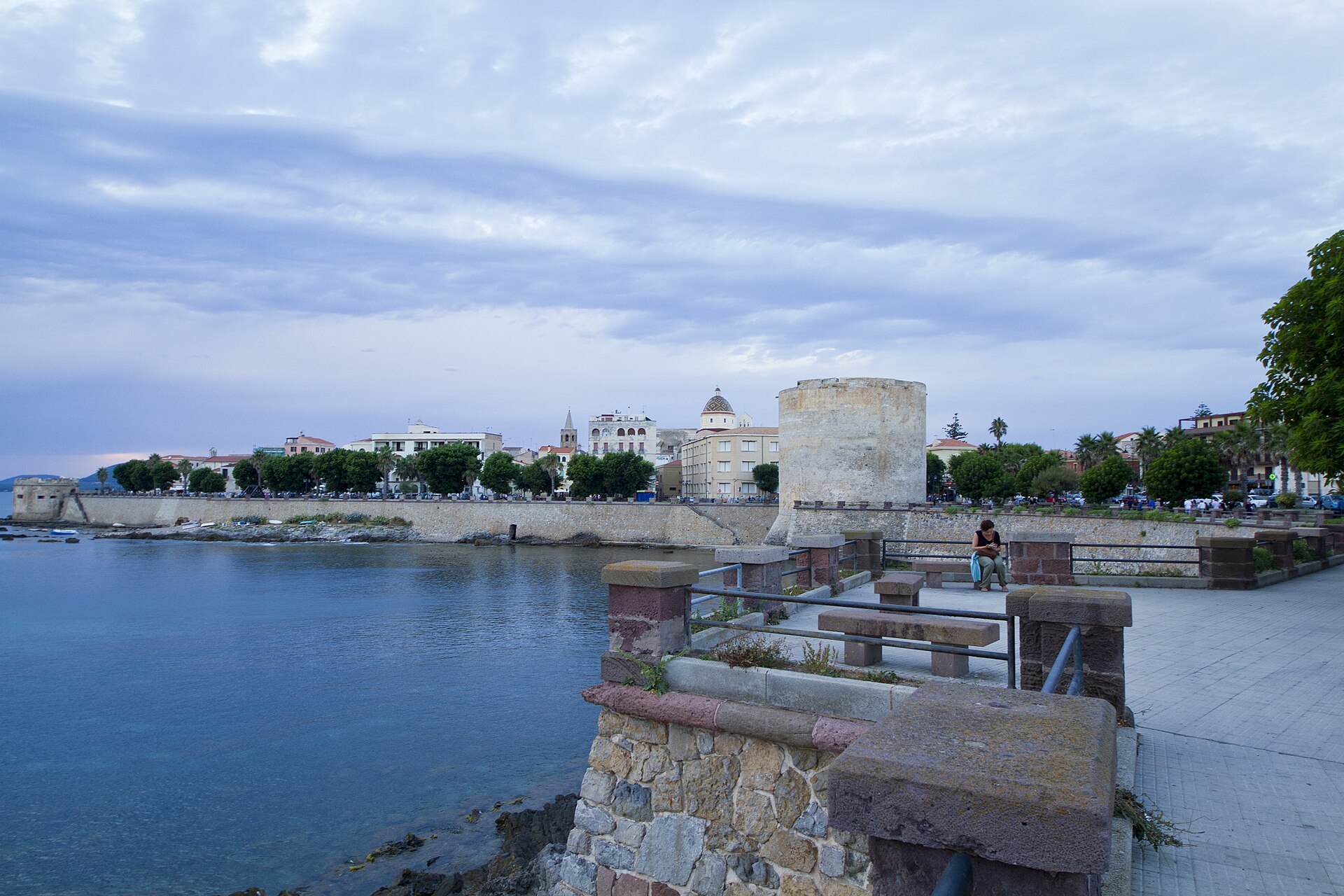
Drop down the west coast to Alghero, where Catalan is still spoken and a ring of medieval walls leans into the sea. The SS292 between Alghero and Bosa is widely considered Italy’s finest coastal drive, but the real adventure lies in the parallel dirt roads climbing into the hills above, where griffon vultures nest on basalt cliffs.
Further south, the Sinis Peninsula offers flat, easy tracks across a patchwork of lagoons, salt flats, and Phoenician ruins. Drive to San Giovanni di Sinis for the 6th-century early-Christian basilica, then continue on gravel to Tharros, a Carthaginian-Roman site perched on a spit of land between two seas.
Stage 3 — Costa Verde: Mining Ghosts and European Dunes
This is the loop’s signature stage. The Costa Verde is a UNESCO Global Geopark shaped by eight thousand years of mineral extraction. The abandoned mining village of Ingurtosu still guards its grand management palace at the head of the valley; from there, a rough track descends to Piscinas, where sand dunes reach 60 metres — the highest in Europe — and plunge directly into the sea.
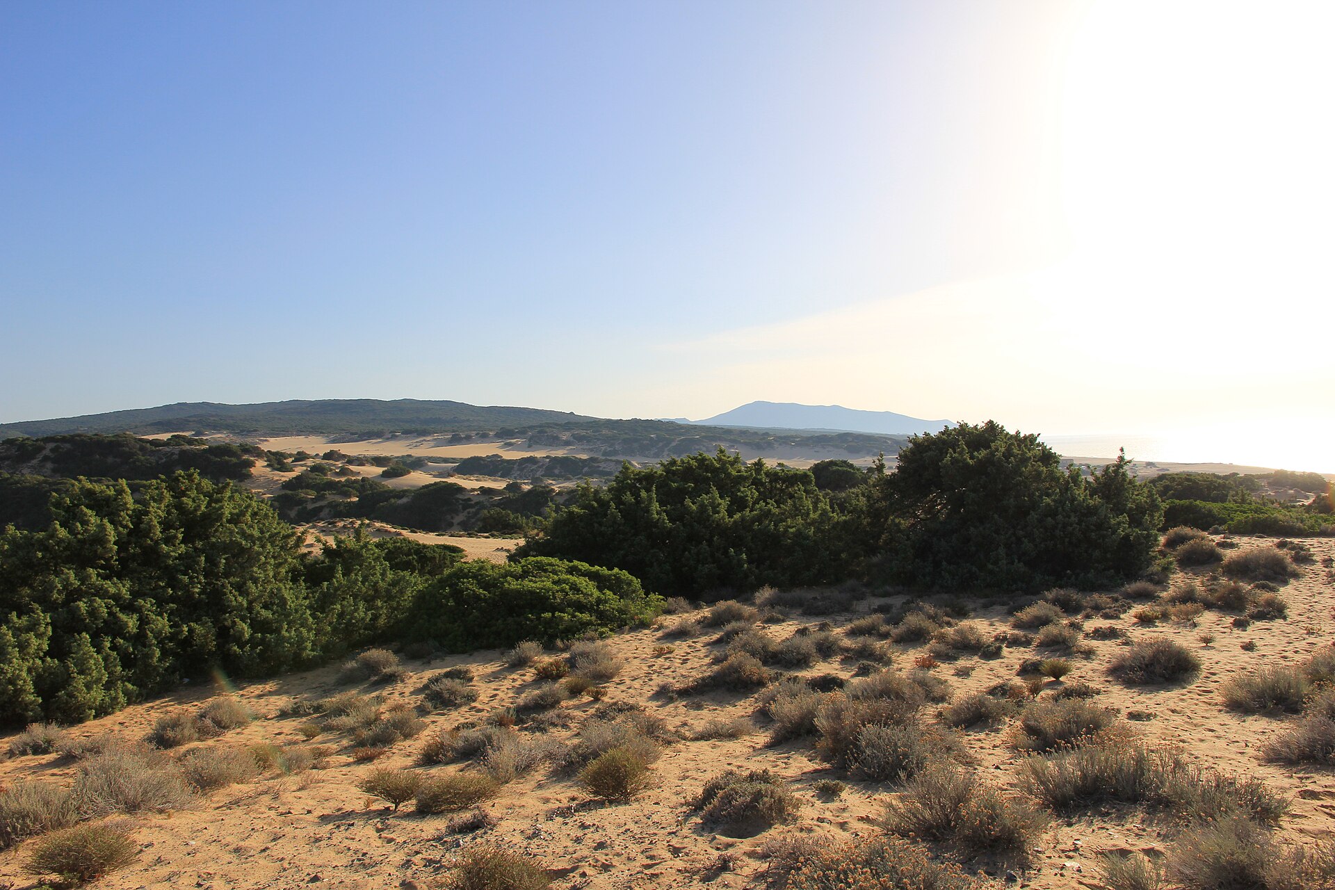
Drive the dunes only on established tracks: the juniper-stabilized dune system is fragile and heavily protected. Continue south through the ghost town of Montevecchio and the pit-head ruins above Buggerru, then climb into Iglesias, a handsome medieval town with a mining museum worth the hour.
Stage 4 — The Nuragic Heartland: Cagliari to Barumini
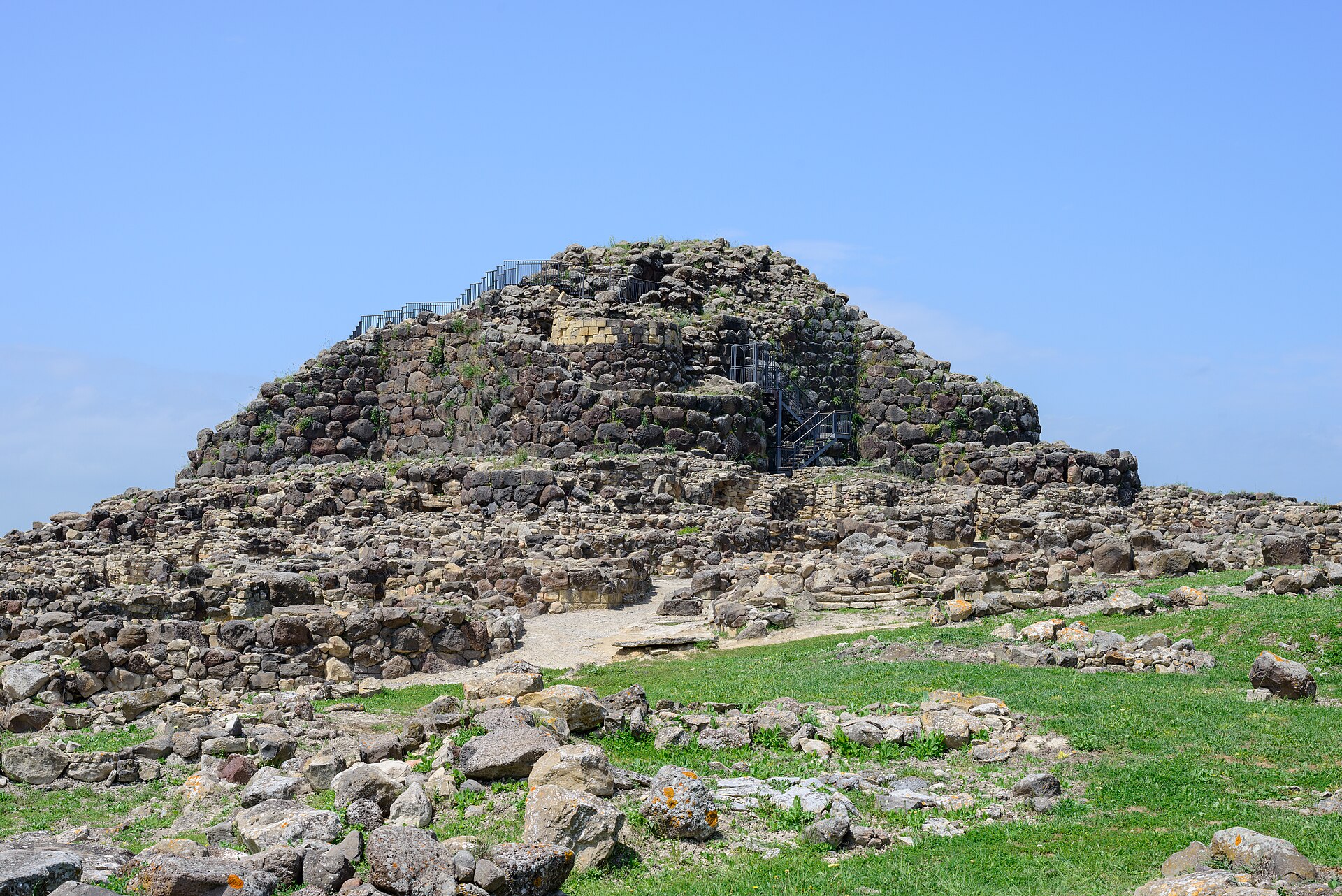
Swing through Cagliari for a night of proper cuisine and a resupply. Then head inland to Su Nuraxi di Barumini, a UNESCO World Heritage Site and the best-preserved example of the mysterious Bronze Age stone towers that dot the island — more than 7,000 once stood, and the central keep at Barumini still rises four storeys.
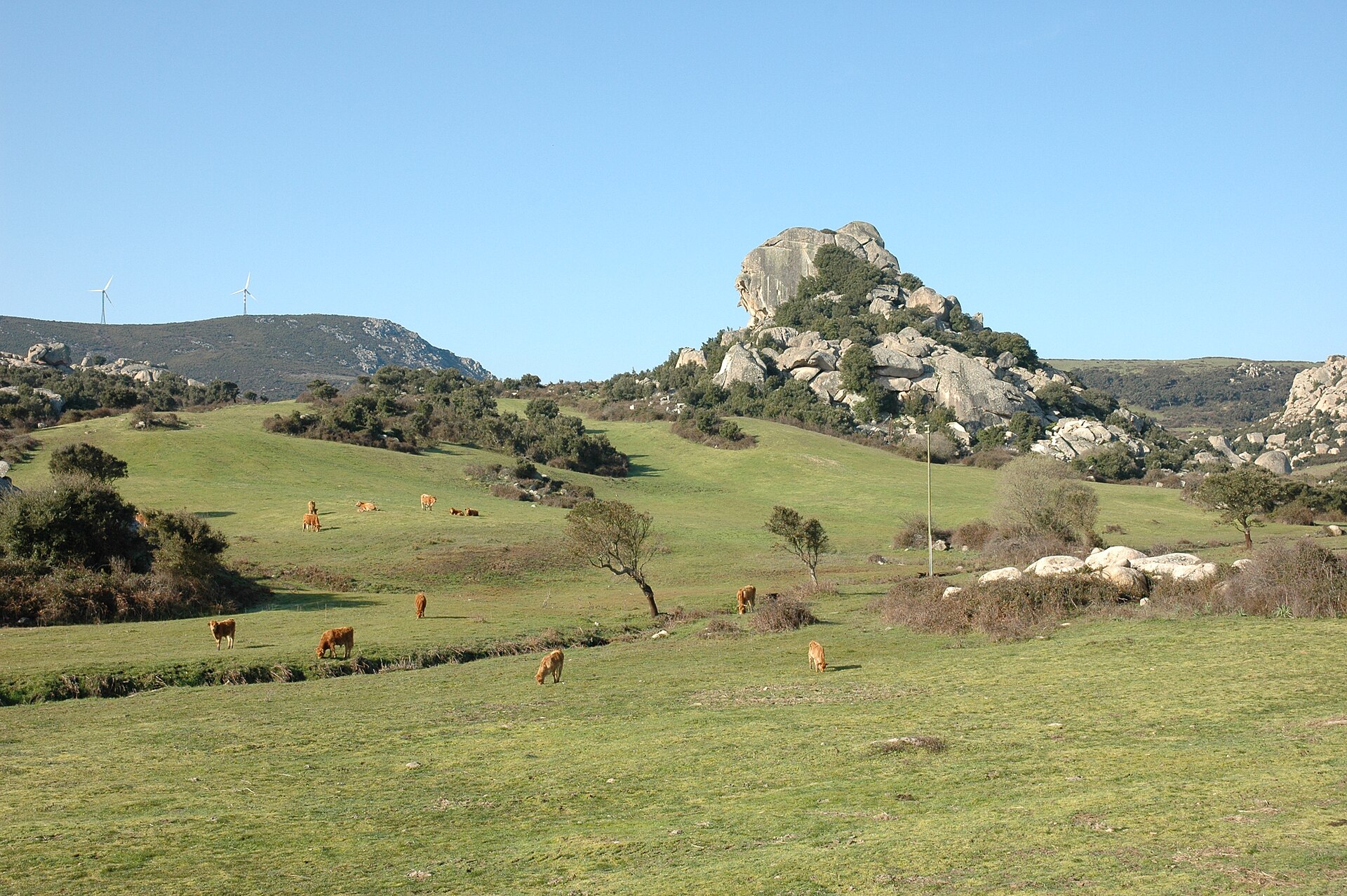
From Barumini, unpaved backroads weave through the Giara di Gesturi, a basalt plateau grazed by small, wild horses found nowhere else. The tracks here are gentle enough for a stock 4×4 and the birdwatching is exceptional in spring.
Stage 5 — Gennargentu: Into the High Interior
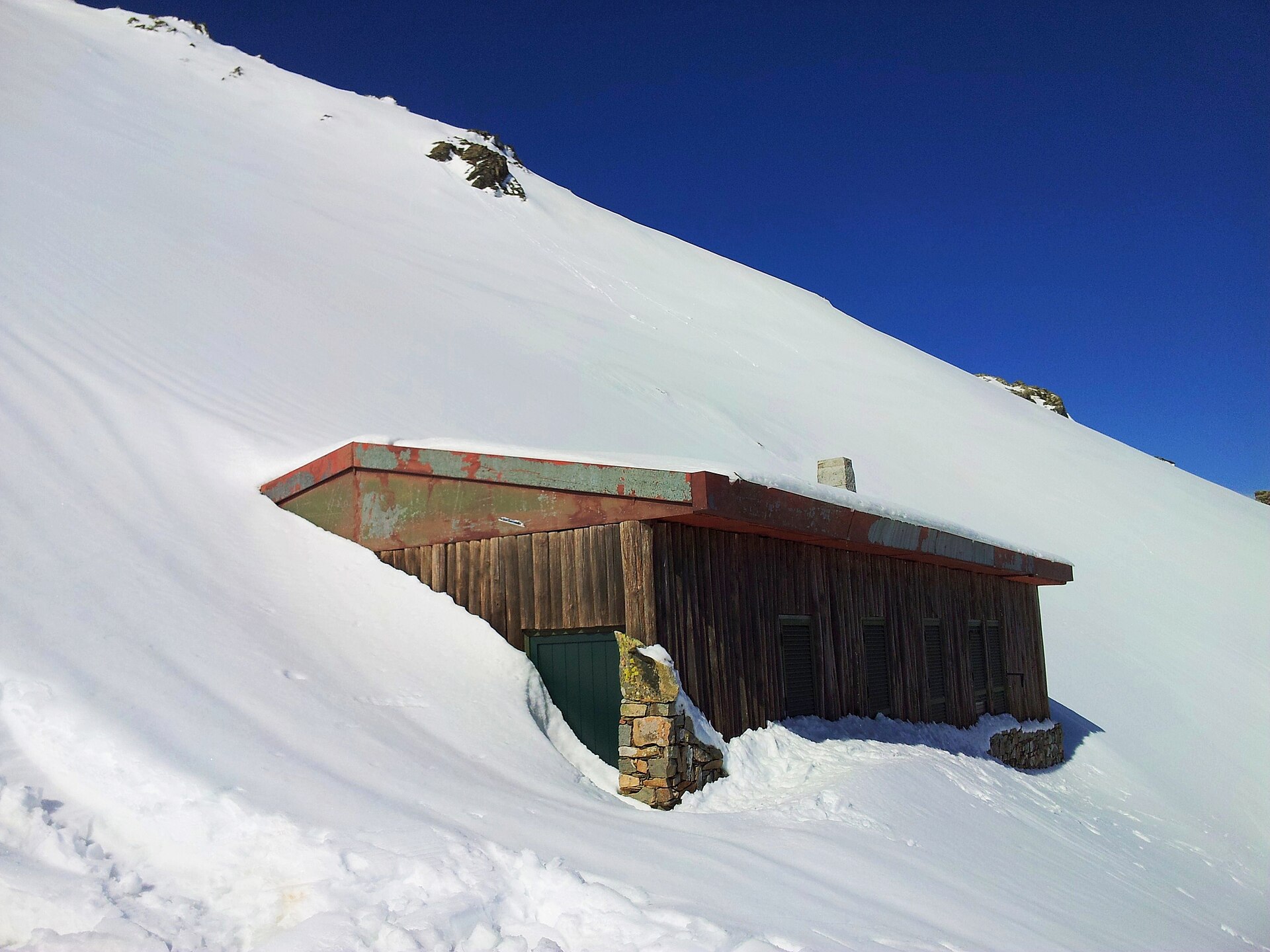
North from Barumini the road climbs into the Parco Nazionale del Gennargentu, the wildest core of Sardinia. Fonni, at 1,000 m, is Italy’s highest village and a good base for attempting Punta La Marmora (1,834 m) — the highest point on the island, reached via a forestry road followed by a short hike.
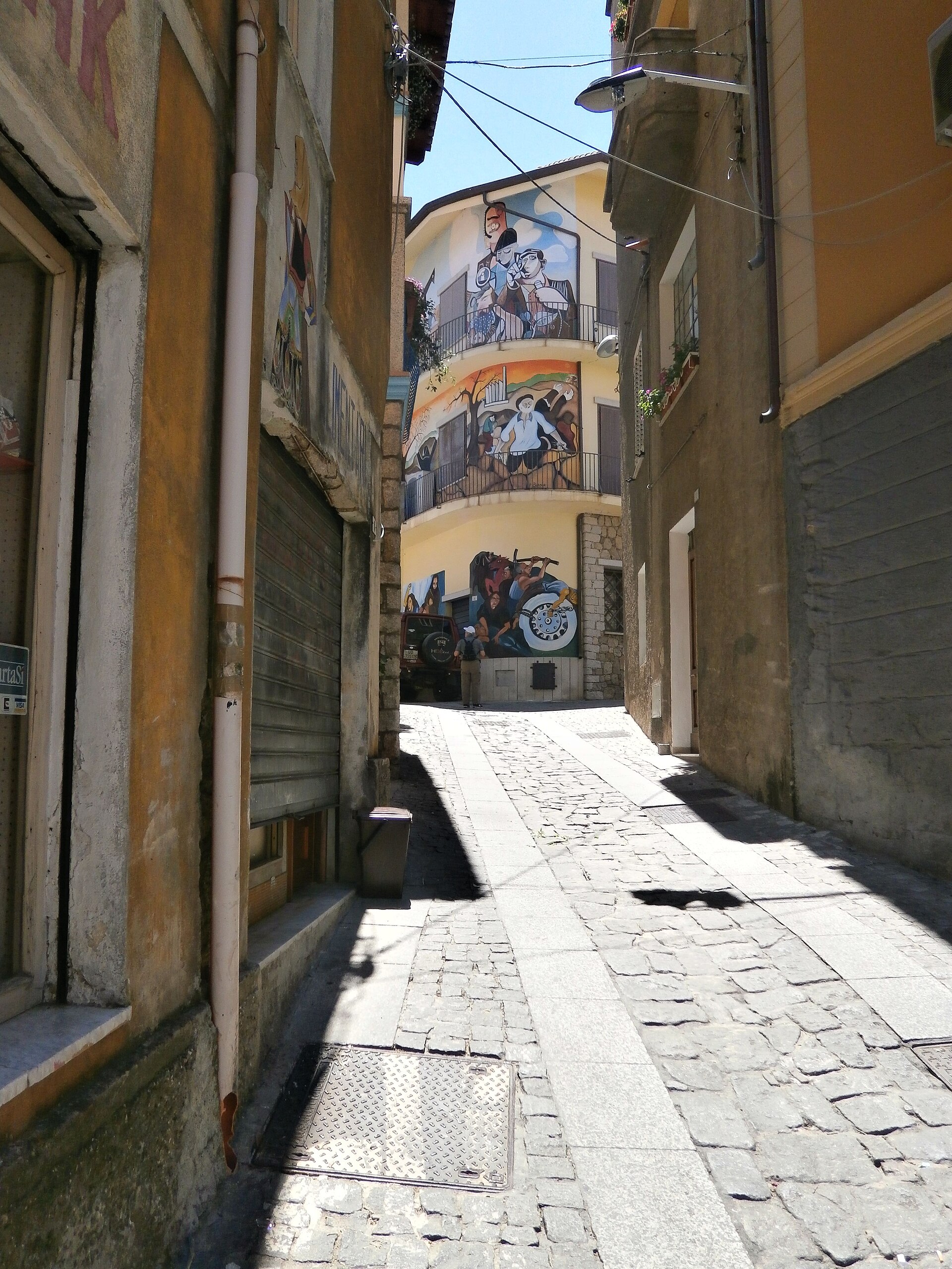
Orgosolo is the next stop, famous worldwide for its politically charged murales, more than 400 painted facades documenting a century of Sardinian struggle. Park and walk — the art is the town.
Stage 6 — Supramonte: Canyons, Shepherds, and Hidden Villages
The Supramonte limestone massif is the spiritual centre of the loop. From Dorgali, a long forestry track climbs to the trailhead for the Nuragic village of Tiscali, hidden inside a collapsed karst dome and home to Bronze Age dwellings still half-buried in the rubble of the roof. The final approach is on foot, but the drive-in through holm oak forest is part of the experience.
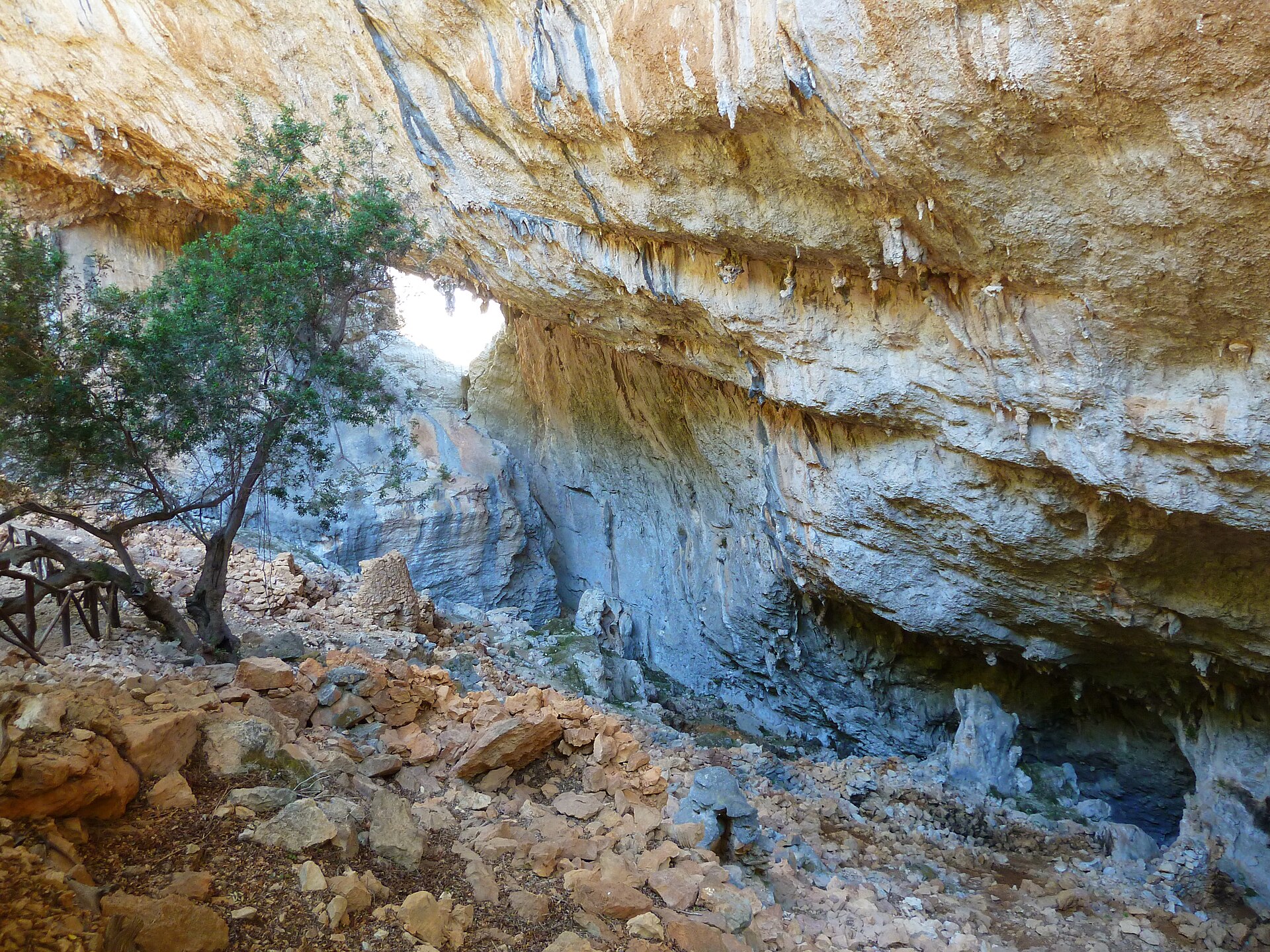
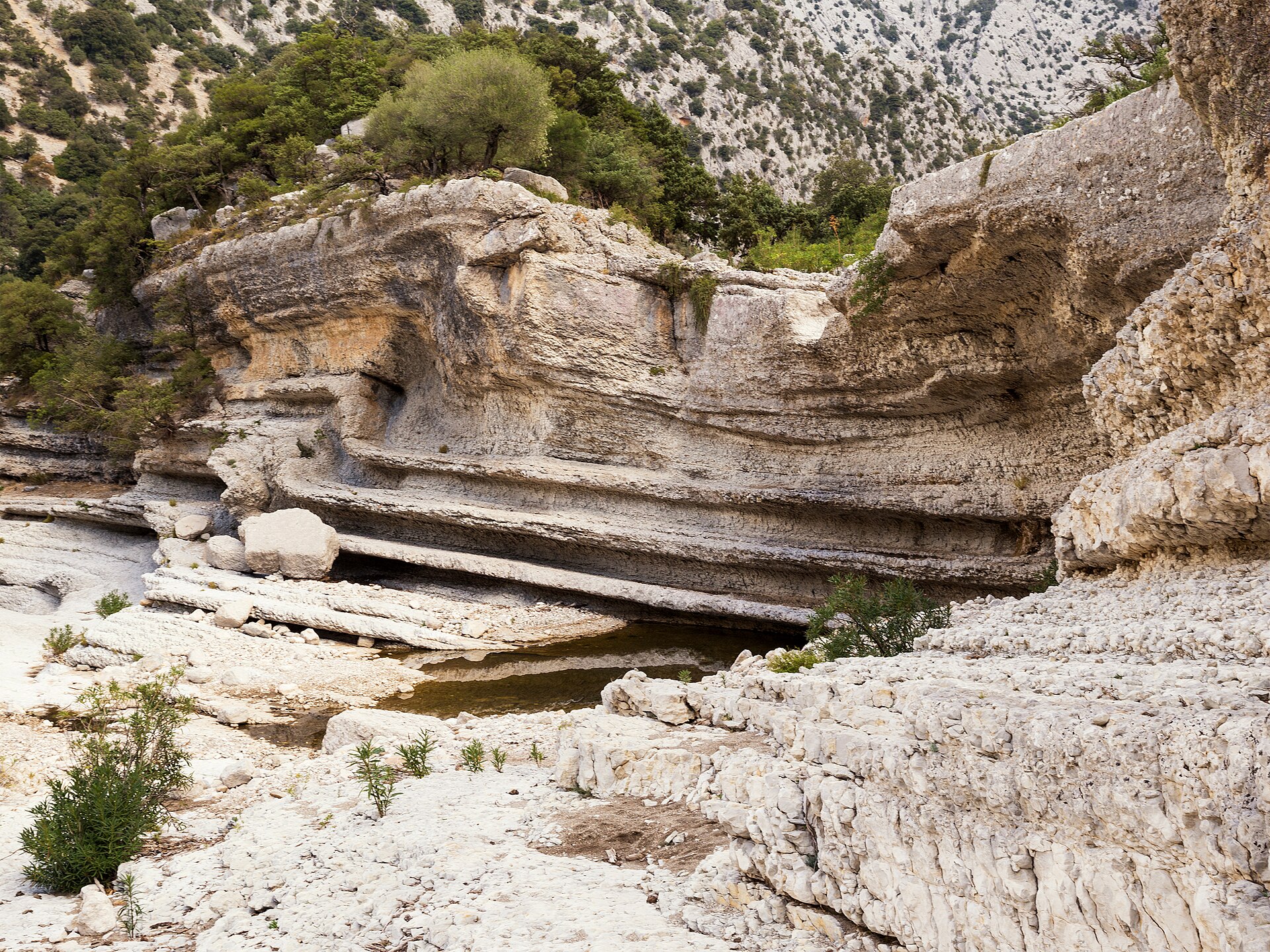
A second essential detour from Dorgali takes you to Gola di Gorropu, one of the deepest canyons in Europe, with walls rising nearly 500 metres. The nearest drivable approach is the Genna ‚e Silana pass on the SS125 — a signed trailhead drops into the gorge on foot.
Continue south to Baunei, perched on the edge of the plateau, and from there drop toward the Gulf of Orosei on the legendary Cala Sisine track. This is the loop’s hardest driving: narrow, rocky, steep, and genuinely remote. Only attempt in dry weather and with recovery gear. The payoff is one of the most beautiful coves in the Mediterranean.
Stage 7 — The Gulf of Orosei and Back to Olbia
Finish in Cala Gonone, a pleasant harbour town where the coastal caves of Bue Marino can be reached by boat. From here it is an easy 130 km back to Olbia along the SS131dcn — or, if you have one more day and appetite, cut inland again for the oak forests of Monte Ortobene above Nuoro before closing the loop.
When to Go
Mid-April to early June and mid-September to late October are the sweet spots. Spring brings wildflowers across the Sinis and Giara, rivers in the Supramonte, and comfortable daytime highs of 18–24 °C. Autumn delivers warm seas, stable weather, dry tracks, and 40–50% fewer tourists than July–August. Avoid peak summer: the interior exceeds 40 °C and the fire risk closes many forestry roads to vehicles.
Rules, Rights, and Respect
Italian law forbids driving off marked tracks in protected areas — this is strictly enforced inside the Gennargentu National Park, on the Sinis, Piscinas, and all regional nature reserves. Stick to existing strade bianche, strade vicinali, and forestry roads. In doubt, ask locally: a shepherd’s nod is usually more reliable than any online map. Fines for off-piste driving can exceed €1,000 and vehicles have been impounded.
Fires are the other inviolable rule. From 1 June to 31 October, open flames (including stoves) are prohibited outside designated areas across the whole island.
Vehicle and Gear Checklist
- Vehicle: any stock 4×4 with high clearance and low-range gearing. AT tyres are strongly preferred over road tyres.
- Recovery: rated recovery points, soft shackle, kinetic rope, shovel, tyre-deflator and compressor. A traction board pair is cheap insurance on the Costa Verde sand.
- Navigation: offline Google Maps, Gaia GPS or Locus with OpenStreetMap + contour lines, and a paper IGM 1:25,000 sheet for the Supramonte.
- Communication: dual-SIM phone (TIM coverage is best in the interior), plus a PLB or Garmin inReach for the remote east coast tracks.
- Fuel: stations are sparse between Fonni and Baunei — tank up at Nuoro or Lanusei and carry a 20 L jerry can if your range is under 500 km.
- Water: minimum 4 L per person per day in summer shoulder months.
Getting There
Overnight ferries run to Olbia, Porto Torres, and Cagliari from Genoa, Livorno, Civitavecchia, and Naples; operators include Grimaldi, GNV, Moby, and Tirrenia. A cabin on the Genoa–Olbia overnight is the classic overlander’s arrival: you roll off the ramp at dawn and the island is already yours.
Final Thoughts
Sardinia is not a single landscape but a dozen, stitched together by dirt. Drive it slowly, respect the tracks, buy the pecorino from the shepherd you meet at the pass, and you’ll come away with the rarest thing in modern European travel: the feeling of having discovered somewhere that is still, unmistakably, itself. Pack a good map, lower your tyre pressures, and go.